Collaborative Field Mapping: Past, Present, Future
This is part of a series of blogs about my journey working on a collaborative Field Mapping tool, now called FieldTM:
pt1 here.
pt2 here.
pt3 here.
pt4 here.
Field Mapping: The Past
Paper Era
-
People actually used to have to write things down on paper, remember information in their heads, and talk to one another - damn! However ever did they manage?
-
In all seriousness, coordinating a mapping campaign before the 1990’s was probably a logistical nightmare. Paper maps, scrawled notes by field teams that had to be coordinated at the start of the day, then sent on their way.
-
No doubt, labour intensive and prone to error.
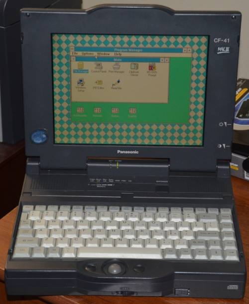
Digital Transition
-
With the advent of handheld GPS devices in the 1990s and early 2000s, digital coordinates could be logged in the field.
-
Paired with rugged PDAs or laptops running early GIS software like ArcPad, fieldwork became more accurate and geospatially aligned - but the workflow was still often clunky and required post-field data syncing.
Open Source Innovation
The open-source movement brought in new players.
-
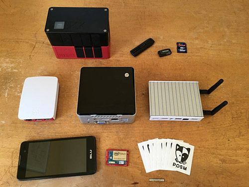
Tools like OpenMapKit (OMK) allowed for tagging OpenStreetMap (OSM) features in the field using smartphones (built on ODK - more on this later).
-
Portable OpenStreetMap (POSM) enabled completely offline OSM editing and syncing using OMK, ideal for humanitarian deployments without internet access.
-
These were excellent technical advancements for the open mapping sector. Using open-source tools such as OpenDataKit underneath, they were probably the first good solution for field mobile data collection.
-
However, OMK and POSM did have a number of issues and were quite difficult to maintain, meaning the projects failed somewhere between 2014-2017.
Field Mapping: The Present
Field Mapping Today
-
Now we have excellent tools on the scene like QField for grass-roots field mapping of new features and StreetComplete / EveryDoor / Vespucci to verify and enrich data through on-the-ground tagging.
-
We also have the most awesome community-lead open-data geo repository the world has ever seen: OpenStreetMap.
-
OpenDataKit (now ODK) has also gone from strength to strength, as the best tool for structured mobile survey data collection in the field.
-
A small breakdown of available tools has been written here
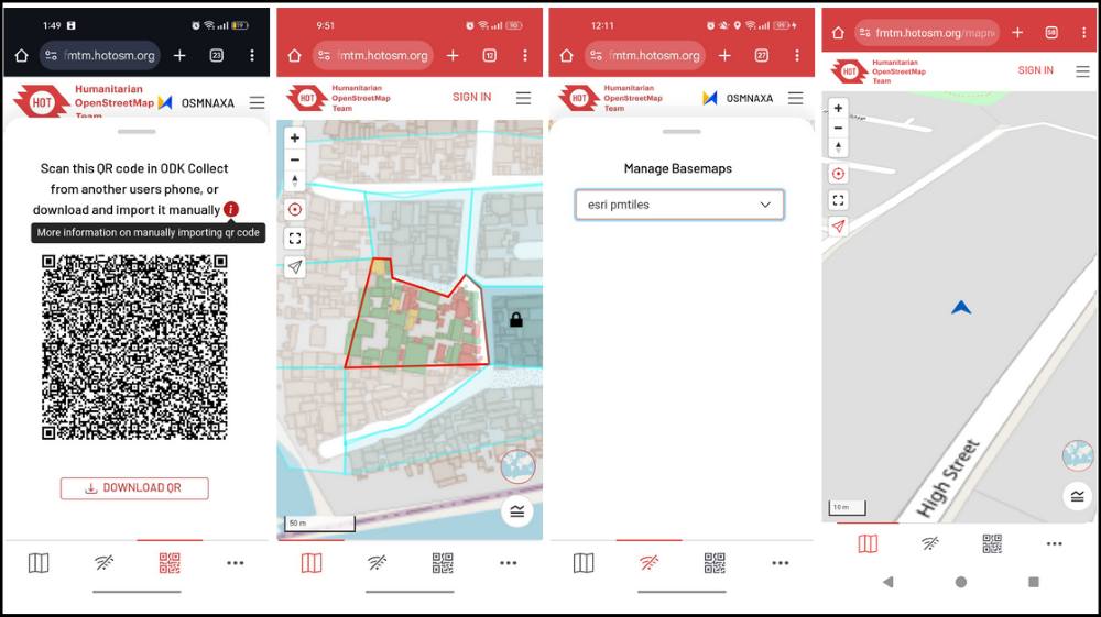
The Field Mapping Tasking Manager
Field mapping has always been messy: tools are fragmented, offline workflows are fragile, and coordination is hard. HOT’s FieldTM attempts to solve all of that in one tool.
The full timeline of development can be found here, along with the info in the linked previous blogs in the series.
The short summary is:
-
FieldTM development started as a prototype in late 2022.
-
It was already clear to us that ODK had nailed the mobile form data collection part. What was missing was a coordination layer, to assist teams keep track of large mapping campaigns.
-
We wanted to merge the successful concept of ‘tasking’ users, from the Tasking Manager, with the actual data collection part being outsourced to ODK.
-
A big development push was made in 2023 to produce a usable tool.
-
Since then, FieldTM has come on leaps and bounds, with many successful large scale mapping campaigns under it’s belt.
FieldTM Case Studies
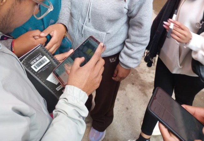
Slum Mapping In East & West Africa
- We had many projects mapping informal settlements in Sierra Leone, Tanzania, Ghana.
- The common denominator of these projects was long-form survey questions, developed in order to collect detailed information about informal settlements in and around cities.
- These projects involved partnering with Slum Dwellers International and various other local partners for the work, with teams of mappers being deployed into the local communities.
- Goals ranged from the empowerment of marginalized young people – particularly young women – from slums and informal settlements, to household surveys to generate high-quality geospatial data aiding humanitarian action.
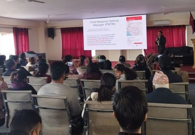
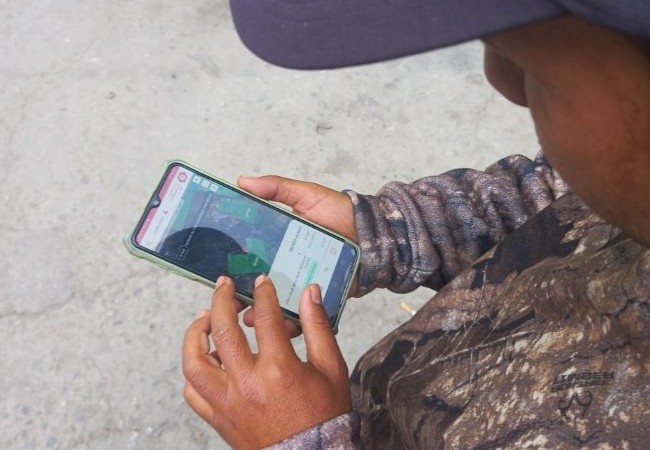
Municipal Settlement Mapping in Nepal
-
This was a huge project in the Tokha municipality, Nepal, alongside our closest software collaborator NAXA.
-
The goal was to map around 30,000 buildings and associated roads in the region, as part of a large government data collection program.
-
An overarching aim is to use this data to assist in the creation of an addressing system for the recorded households.
-
As of 07/04/2025 over 20,000 buildings have been mapped by mapping teams as large as 50 people.
-
This project was an overall success, and can be seen as a great example of FieldTM’s efficacy as a large-scale census data collection platform.
-
Many new requirements were added to FieldTM as a result of this program, and lessons learnt, significantly improving user experience as a result.
Favela Mapping In Brazil
- This project is in its early stages, due for kick-off with the mapping around June 2025.
- We gathered a large list of requirements from the Mapa da Periferias team in Brazil for this one.
- Amongst the many new features developed and under development, we have the introduction of API tokens, private projects, user invites, and integration of ODK Web Forms: a very large shift in how FieldTM will be used.
- Instead of requiring two apps (both FieldTM and ODK Collect), from the user perspective, this change will allow for the seamless data collection all within the FieldTM application, with a web-based survey embedded into FieldTM.
Field Mapping: The Future
Based on our positive experiences, we really believe FieldTM to be the future of coordinated field mapping.
This is particularly true for the main use cases we have seen so more: governmental regional-level dwelling and infrastructure surveys.
Going forward we would love to go back to our roots and really optimise the OpenStreetMap workflows. FieldTM was originally envisioned as an OpenStreetMap-centric tool, but with user demand, we quickly saw the scope expanding.
FieldTM Future Developments: Sneak Peek
You can get a general idea for where the tool is going via our roadmap
However, as a higher level description of some awesome features incoming would be:
-
Heavily leaning into the local-first development paradigm. This means optimising the offline-first and local experience first above all else. Data on your device is owned by the user, with much less reliance on cloud servers and loading spinners.
-
Real-time collaboration via live mapping updates. How cool would it be to see an avatar of your colleagues walking around the map on your device, while you are coordinating with them? Plus features changing colour as soon as they are mapped. We could make that a reality, given time.
Note
We already have a partial implementation of this in place, where features turn green once mapped. Real-time updates of mapping events are sent to each users device, with a particular focus on the mobile (mapper) view.
-
OpenStreetMap optimised workflows, including pre-defined forms that match available OSM tagging rules. Your next mapathon or mapping social could revolve around field mapping in your local area.
Want To Help Us?
To help us achieve all of this, we rely heavily on the expertise of our parners, and the community of users, developers, technical writers, testers, and supporters!
If you feel you could be one of those, please don’t hesitate to reach out to a member of our tech team at HOT - we are a friendly bunch 😊
We also have a huge slack community to engage with, and many contribution guidelines and documentation that could help you decide where to start.
Tools for the community, by the community 👩👩👧👦🤗🌍🤝